Mapping Options:

geojson.io - Simple Option

geojson.io

ArcGSI Online - Complex Option

ArcGIS Online
  1. Go to ARC GIS Online
  2. Create a free account
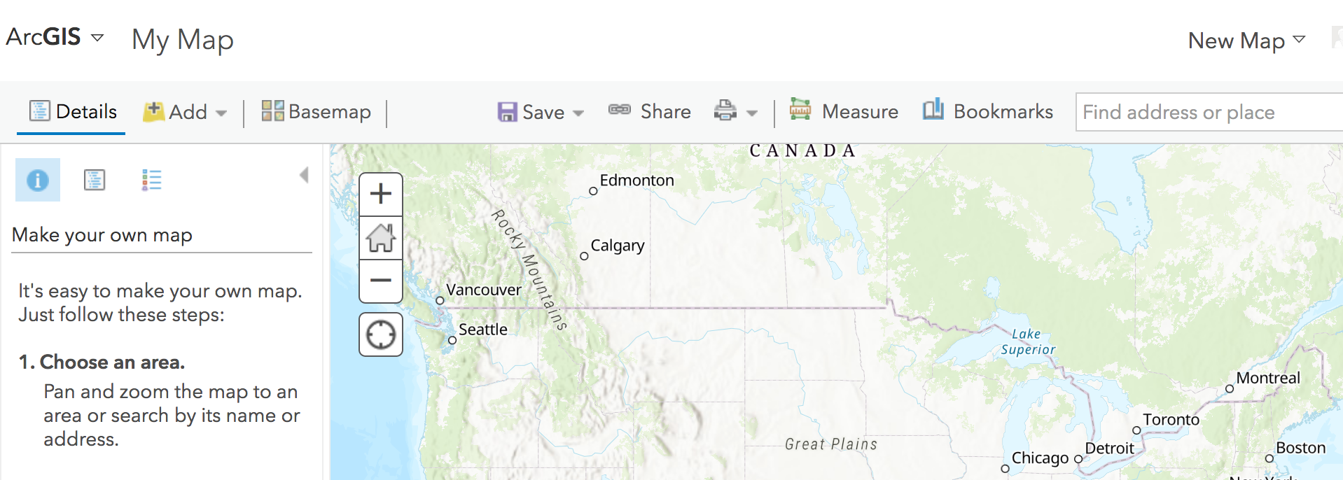
  3. Click on "Map"
  4. Click on "New Map" - "Create New Map" (on the right hand side)
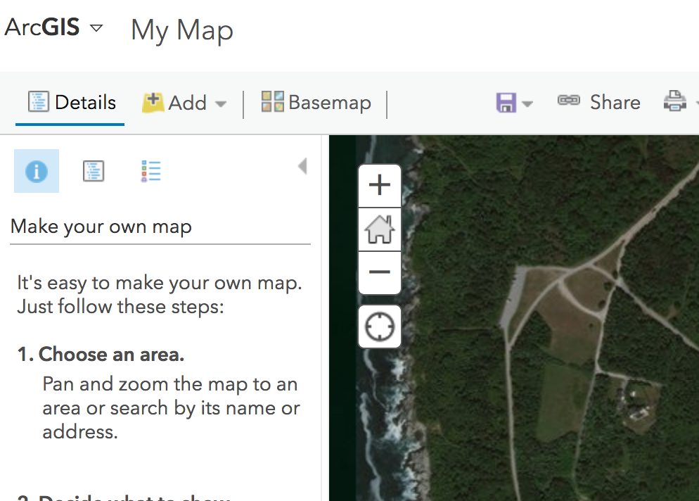
  5. Zoom into Beavertail State Park
  6. Change "Basemap" to "Imagery"
  7. Create a CSV file to contain your data. You can create this in Google Sheets, Excel, in a text editor or online. I would suggest the online option as it is interactive and shows you where the point are. In fact, using the online mapping may be sufficient for this initial data set.
    The first line should be a header that describes the data, including Latitude and Longitude. Locations should be in decimal degrees, To convert from minutes to decimal degrees, use
     Decimal Degrees = Integral Degrees + (Partial Minutes / 60.0) 
  8. Load this data onto the map using "Add" - "Add Layer from File" or Drop the CSV file onto the map.
    It is best to start with one point and get that to work, then add the remaining points. An interative site might be more useful for inputing data; the data can be downloaded as CSV and dropped onto the GIS map.